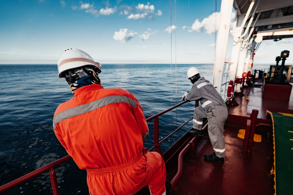
The real-time ocean data they allow for a more precise understanding of sea conditions at the point where a vessel operates and can become a fundamental reference for making decisions during critical offshore maneuvers.
In these types of operations, conditions can change in a few minutes, the height, period, and direction of the waves, along with the movement of the vessel, can determine whether a personnel transfer, hoist, or maneuver should continue or be postponed.
Miros it suggests that the maritime industry already has technology capable of measuring these variables directly in the work environment. This information does not replace weather forecasts, but it can complement them when conditions approach the limits established for an operation.
The difference is important: a forecast anticipates how conditions might behave within an area and during a given period, while a local measurement shows what is happening at that moment around the vessel.
Metocean data reduce operational uncertainty
The offshore operations they typically involve crews, contractors, client representatives, and project teams. While everyone shares the goal of completing the job safely, there isn’t always the same understanding of near-limit maritime conditions.
This situation can become more evident after an interruption due to bad weather, when the need arises to decide whether conditions allow activities to resume.
In that context, local metocean data provide a common reference, variables such as wave height, direction, and period can be directly compared with the operational limits defined for each task.
The crew’s experience remains critical, but it can now be supported by objective measurements to decide whether there are sufficient conditions to continue, stop, or delay an operation.
Lifting and transfer operations depend on the actual state of the sea
Lifting operations are one of the clearest examples of this need, the relative movement between the vessel and a suspended load is influenced by waves, currents, and the vessel’s own response. Even a maneuver initiated under acceptable conditions can become complicated if the sea state changes during its execution.
These variations can cause oscillations in the load, unexpected movements, and increased stress on cranes, cables, and other equipment involved.
Personnel transfers present a similar challenge, the pitching, rolling, and vertical movement of the ship directly affect operations carried out using gangways or other support vessels.
Therefore, having real-time information helps to define operational windows more precisely, forecasts remain essential for planning, while local measurements allow verification of exactly what is happening at the point where the maneuver must be carried out.
Dynamic positioning also depends on the local environment
The ocean data real-time data can also provide relevant information for dynamic positioning systems or DP. These systems use propulsion and control equipment to maintain a vessel’s position and orientation against wind, currents, and waves. Their performance therefore depends on environmental conditions and how the vessel responds to them.
Having local measurements allows for a better understanding of the environment in which the dynamic positioning system operates, especially when the vessel is working close to its operational limits and needs to maintain sufficient margin against sudden changes.
A gradual loss of margin can be difficult to identify if the available information does not accurately reflect existing conditions. In extreme situations, this type of scenario can contribute to displacement events known as drive-off or drift-off.
The measurements create a history of each operation
The value of the data does not end when a maneuver is completed, continuously recording sea conditions allows for building a history of the operations carried out by a vessel and relating each activity to the environment in which it took place.
For example, metocean conditions can be compared with personnel transfers carried out or cancelled, as well as analyzing the relationship between currents, ship movements and underwater work.
It is also possible to compare the wave period and load behavior with the wear observed later on equipment such as propellers, cranes, walkways or winches. Over time, this information can become a useful operational database for reviewing limits, preparing new campaigns, and improving procedures applied by future crews.
Real-time data complements forecasts
The offshore industry has progressively incorporated systems of dynamic positioning remote monitoring and predictive tools to increase control over operations. Real-time ocean measurements can be integrated within that same technological environment.
Weather forecasts play a fundamental role because they allow us to anticipate changes and prepare operations hours or days in advance. On-site measurements serve a different purpose, which is to confirm the actual conditions at the place and time when a maneuver must be performed.
Combining both types of information can offer a more complete view to define weather windows, support operational decisions, and subsequently analyze the performance of each activity. In this way, local sea state data can become an additional tool to reduce uncertainty and support more accurate decisions about when to continue, delay, or stop an offshore operation.
Source: Offshore Energy
Photo: Shutterstock