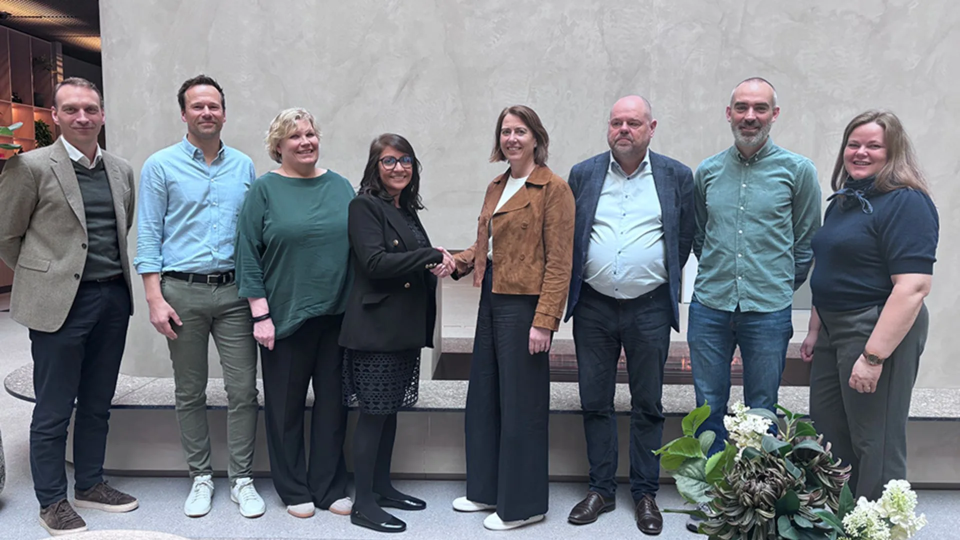
Northern Europe’s energy industry is consolidating a new framework for technological cooperation through the recent agreement between Viridien and Aker BP. This strategic commitment establishes a formal five-year collaboration aimed at enhancing data acquisition and seismic exploration through advanced imaging processing, as well as technological development applied to multiclient ocean-bottom nodes (OBN).
Cooperation and seismic exploration on the Norwegian continental shelf
With regard to operational objectives, the alliance seeks to coordinate innovation efforts to optimize exploratory activities across Norway’s entire continental shelf. In this way, operational experience in Aker BP fields will be combined with Viridien’s technical capabilities in seismic imaging. In addition, this integration will facilitate the expansion of multiclient data inventories to identify new commercial hydrocarbon reserves.
Therefore, both organizations expect to accelerate discovery cycles by accessing subsurface information with higher geographic resolution. This transfer of technical knowledge will contribute directly to the sustainability of regional energy production in the medium term.
For his part, Petter Sørhaug, representative of Aker BP’s Exploration and Field Development area, argued that this corporate partnership supports the company’s sustainable growth in the Arctic region. The executive emphasized that ocean-bottom node seismic technology is a fundamental factor in optimizing subsurface data quality. Likewise, Sørhaug noted that continued cooperation with Viridien will strengthen global processing capabilities and maximize the profitability of its current asset portfolio.
In line with this vision, Dechun Lin, Viridien’s Director of Land Data, underscored that the multi-year contract reflects a commitment to sustained investment in Norwegian territory. Lin noted that the combination of geoscience expertise and knowledge of local geology has proven decisive in mitigating financial risks in drilling projects near mature fields. Finally, the executive expressed the intention to design new methodological tools that increase operational efficiency, overall profitability, and the commercial value of fiber-optic broadband networks applied to the marine environment.
Source and photo: Viridien