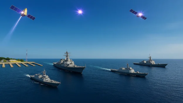
The evolution of satellite technologies in the maritime industry now offers innovative solutions for detecting oil spills and maritime transport, providing speed, accuracy, and predictive capabilities in emergency management. The growing dependence on offshore hydrocarbon transport and production has increased the need for more efficient and sustainable surveillance systems.
This article focuses on analyzing the latest advances in satellite environmental monitoring, explaining how new-generation satellites, image processing using intelligent algorithms, and the integration of digital platforms are transforming risk management in offshore energy infrastructure and port terminals.
Why use satellites in maritime environmental management?
The maritime industry faces a growing challenge: offshore oil spills and ship location. These incidents have a serious impact on ecosystems and also compromise the safety of port operations and energy supply chains. Satellite technologies therefore offer strategies for accurate and continuous monitoring of the oceans. Among the main ones are:
Satellite environmental monitoring: real-time global coverage
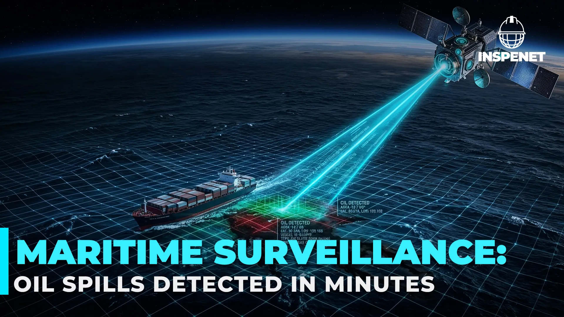
Observation satellites equipped with SAR (Synthetic Aperture Radar) sensors can detect anomalies on the water’s surface, even in adverse conditions such as storms or lack of sunlight. Unlike aerial patrols, satellite environmental monitoring offers global coverage, immediate analysis, and reduced operating costs, which are key factors for maritime terminal operators.
Maritime artificial intelligence: rapid and accurate detection
The real technological leap occurs when maritime artificial intelligence algorithms are integrated. These systems process satellite images in real time and distinguish between an actual spill and other natural phenomena, such as algae blooms or cloud shadows. This reduces false positives and speeds up early response to emergencies.
Oil spill detection with hybrid systems
The most promising innovation is the combination of oil spill detection via satellites with smart buoys and cloud-based analysis platforms. This synergy makes it possible to generate early warnings and coordinate containment operations almost immediately. International programs such as Copernicus (ESA) and Landsat (NASA) already apply these solutions in strategic areas of high maritime traffic.
Towards more sustainable ocean management
The adoption of satellite technologies and artificial intelligence not only optimizes surveillance, but also reinforces environmental safety at energy terminals and routes. These innovations ensure more sustainable management, in line with the Sustainable Development Goals and the global need to protect marine resources from environmental risks.
The following video takes a closer look at global monitoring tools that ensure more sustainable ocean management and enhance safety on strategic routes.
Latest technological advances in satellites and maritime AI
New generations of observation satellites
Recent advances in satellite technology have led to satellites with higher spatial and temporal resolution. Equipment such as Sentinel-1 (ESA) or ICEYE) allows images to be generated every few hours, ensuring near real-time surveillance. This is essential in detecting oil spills, as every minute of delay can exacerbate the environmental and economic impact.
Artificial intelligence applied to SAR images
The integration of maritime artificial intelligence into SAR data interpretation has revolutionized monitoring. Machine learning algorithms analyze reflectivity patterns in the water and accurately differentiate between a spill and natural phenomena. Thanks to this automation, maritime terminal operators can receive early warnings and activate emergency protocols in a matter of minutes.
Satellite environmental monitoring and digital cloud
Modern systems are not limited to satellite observation. Today, data is integrated into cloud platforms that enable continuous and collaborative satellite environmental monitoring. Through digital interfaces, port authorities and energy companies can view dynamic risk maps and plan more efficient cleanup operations.
Case studies of satellite monitoring and AI on the high seas
Satellites and AI: revolutionizing maritime tracking and spill detection
These hybrid solutions, combining satellites, drones, and smart buoys, are already being used in the Gulf of Mexico and the North Sea. The result has been a reduction in incident detection time of more than 70%. This demonstrates that combining satellite technologies with AI improves environmental response and optimizes risk management in critical energy infrastructures.
In practice, the combination of satellites and artificial intelligence has already proven its effectiveness in maritime monitoring. For example, companies such as Orbital Insight and Spire Global have developed systems capable of tracking vessels operating outside normal commercial channels, even when they deactivate their automatic identification systems (AIS). These systems process satellite images directly with AI algorithms, identifying suspicious navigation patterns and sending alerts to authorities in real time.
When it comes to detecting oil spills, companies such as Airbus Defence and Space and Planet Labs use satellites to monitor changes in the water surface that could indicate pollution. Thanks to the integration of AI into their platforms, it is easier to quickly mobilize containment equipment, optimizing the response to environmental incidents and improving the monitoring of areas with high maritime traffic or ecologically sensitive regions.
Conclusion
The combined use of satellite technologies in the maritime industry, AI, and IoT systems represents a paradigm shift in the management of offshore oil spills. These tools enable progress toward a more agile, transparent, and sustainable prevention and response model, consolidating the human factor as the center of decision-making, supported by cutting-edge digital tools.
References
- Zakzouk, M. (2025). Automated oil spill detection using deep learning and SAR imagery. Scientific Reports, 15(1), 3028. https://doi.org/10.1038/s41598-025-03028-1
- Ma, X. (2023). Detection of marine oil spills from radar satellite images for environmental monitoring. Science of the Total Environment, 857, 159234. https://doi.org/10.1016/j.scitotenv.2022.159234
- Akhmedov, F., & al., E. (2024). Developing a comprehensive oil spill detection model for marine environments. Remote Sensing, 16(16), 3080. https://doi.org/10.3390/rs16163080
- Singha, U., & al., E. (2022). Oil spill detection and monitoring with artificial intelligence. CEUR Workshop Proceedings, 3314, 1-10. https://ceur-ws.org/Vol-3314/PAPER_02.pdf