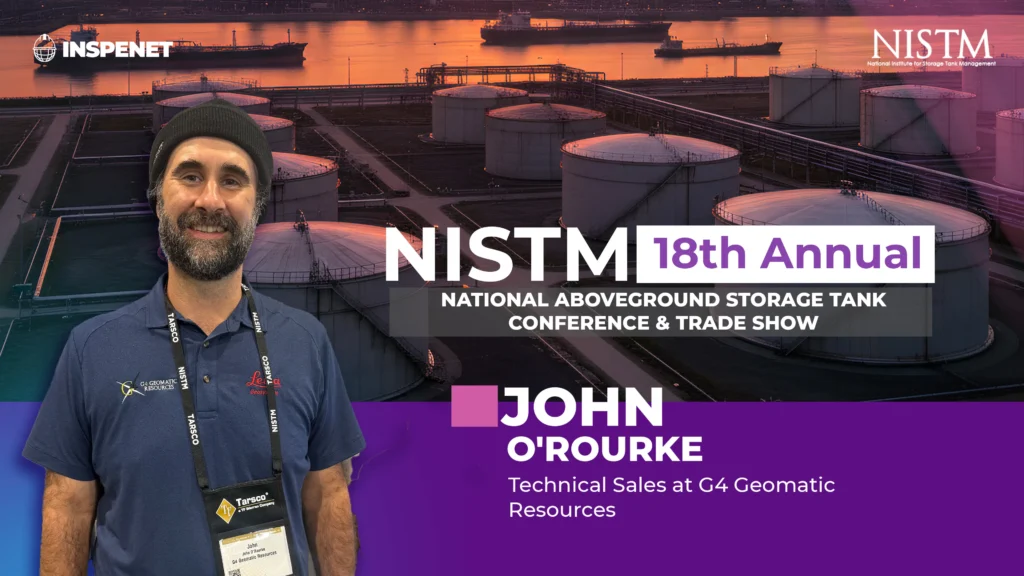
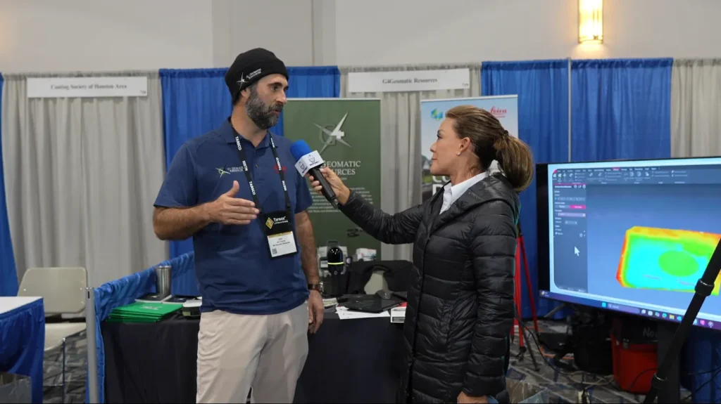
During his participation at the NISTM 2025 event, John O'Rourke, technical sales representative for G4 Geomatic Resources, shared how the company is bringing advanced measurement and analysis tools such as 3D laser scanning to the industry, backed by a team with real field experience.
G4, an authorized Leica Geosystems distributor in Texas and Oklahoma, has offices in Dallas, Austin, Houston and San Antonio, their proposal is not limited to selling equipment: they train, advise and technically accompany users throughout the process. This comprehensive vision is based on a key principle: knowing what really happens in the field.
3D laser scanning allows to capture with high precision the geometry of structures, installations or industrial environments in general. Equipment such as laser scanners, total stations or GPS systems, are essential for companies that need reliable and fast information for decision making.
As O'Rourke explained, this type of technology allows a true record of the condition of an asset, such as a storage tank, to be kept. From that digital model, operators can monitor deformations, perform predictive analysis and compare with future scans to detect structural changes over time.
In addition, scanning allows CAD designs to be compared with As-Built conditions using algorithms that detect deviations or potential problems, this capability is vital for those working under strict regulations or requiring technical certifications based on real data.
One of the strongest differentiators of G4 Geomatic Resources is that its representatives do not come from the commercial side, but from the field. O'Rourke, for example, worked for more than a decade on offshore platforms doing laser scanning and dimensional control, and that technical experience allows them to clearly understand their clients' challenges.
"Our goal is to deliver the right tool for the specific need. We know how it works in the field and that helps us to advise realistically."
O'Rourke commented.
This philosophy has enabled G4 to build strong relationships with professionals in sectors such as surveying, metrology, energy, construction and oil and gas, who find in the company more than a supplier: a technical ally.
Geomatics is advancing at great speed, the integration of software and hardware in real time, the use of artificial intelligence in data processing, and the miniaturization of sensors are just some of the trends that are transforming the market.
While O'Rourke was cautious about anticipating the future, he said the key is to stay informed so that knowledge can be passed on to the client.
"We want to remain at the forefront of technology, but also know how to apply the new in a useful and effective way."
John O'Rourke stated.
Since its creation, G4 has been constantly evolving, its partnership with Leica Geosystems, a reference brand in the world of measurement, reinforces its commitment to offer high-precision tools. However, the focus remains the same: to help users solve real problems in the field with the support of experts.
The history of G4 Geomatic Resources is based on accumulated experience and local expertise. Each of its offices is headed by professionals who worked at Leica Geosystems, which guarantees a deep knowledge of the products and their application in the field.
This organizational model has allowed them to grow as a benchmark for engineering firms, contractors and asset operators seeking accuracy, technical support and verifiable results.
The participation of G4 Geomatic Resources at NISTM 2025 reaffirms its role as a strategic provider of advanced measurement technology in the energy and industrial sector. With a focus on hands-on experience and 3D laser scanning as a crucial tool, the company demonstrates that technical accuracy depends not only on the equipment, but also on the applied knowledge of those who put it in the hands of users.
Thanks to its technical vision, close support and commitment to quality, G4 is positioned as a company ready to face the challenges of the present and the future in the world of industrial geomatics.
For more content about NISTM 2025, please visit our LinkedIn profile.
Source: Inspenet.