

By: Franyi Sarmiento, Ph.D., Inspenet, June 29, 2022
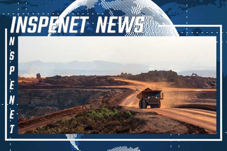
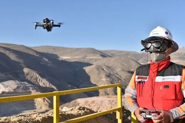
The Quellaveco mining company, in Peru, has incorporated a fleet of drones to carry out surface mapping, using a technique known as photogrammetry (obtaining maps and plans by means of aerial photography) of high precision.
The information obtained by drones is used by different areas to plan mining activities, calculate earthworks or ore reserves and reduce safety risks in the field.


Without having yet started the operations stage, Quellaveco has broken the national record of having accumulated the highest number of drone flight hours in the mining sector, with more than 800 effective hours.
Drones at Quellaveco are also used for biodiversity monitoring, thanks to the use of multispectral cameras, capable of capturing different shades of color. This allows us to analyze the behavior of the bofedales and queñual forests in the areas near the mine. And with the coupling of thermal cameras, the populations of guanacos, suris and other species living in nearby areas are monitored.
The fleet consists of 20 drones, of four different models, operated by professional pilots from the Mine Surveying area. One of their main virtues is that they provide safety, by reducing the exposure of people to dangerous conditions; and functionality, as they can be used for different purposes. In addition, they have the advantage of low operating costs and fast delivery of results, saving 80% of the time previously spent on this work.
“Our drones not only obtain information for precision photogrammetry, but also take 360-degree photos that can be viewed from anywhere in the world through web publishing tools. Another of our drone models works with virtual reality glasses to perform on-site inspection flights from the offices,” says Hugo Chilquillo Padilla, Mine Surveying leader at Anglo American.
The Phantom4 RTK drones perform autonomous photogrammetry, applying Skycatch technology, which makes it possible to dispense with physical marks in the field, which were previously done manually with plaster. With this, the weekly mining sequence can be projected, calculating very accurately the amount of material to be moved.
For its part, the Geotechnical and Hydrogeology area takes advantage of this information obtained from the air to carry out its slope mapping, which was previously done at ground level.
Quellaveco also has MavicAir 2S drones that record 360-degree images to update the HoloBuilder platform, which allows visualization of the mine from any location.
It also has DJI FPV System drones, which are used with virtual reality glasses to inspect different areas of the mine in real time, and Matrice 600 RTK drones, which are responsible for special flights to record high-definition photos and videos.
This material from the Rumbo Minero portal was edited for clarity, style and length.
Source and Photo: https://www.rumbominero.com/peru/quellaveco-drones-mapeo-terreno-y-monitoreo-biodiversidad/