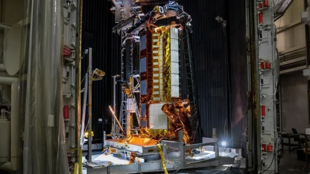
The NISAR satellite, the result of an equal collaboration between NASA and ISRO, successfully lifted off from the Satish Dhawan Space Center in Sriharikota aboard the GSLV-F16 rocket. This launch marks a technological achievement as the first SAR radar mission with L-band and S-band sensors integrated on a single orbital platform.
Radar technology in the service of the Earth
Equipped with synthetic aperture radars at two complementary frequencies, the NISAR satellite will monitor the planet from a heliosynchronous orbit at an altitude of 747 kilometers. This technology will make it possible to generate three-dimensional data on terrain deformations, glacier changes and variations in forest ecosystems and wetlands. Observations will be continuous and will cover the entire globe every 12 days.
The data from NISAR data will be used to assess natural hazards such as earthquakes and landslides, as well as to monitor infrastructure and plan crops. Its ability to detect millimeter variations in the earth’s surface makes it a key tool for climate change adaptation and sustainable environmental management.
NISAR live transmission. Source: NASA
A partnership that aims at the resilience of the planet
The mission, led by NASA JPL and ISRO’s Space Applications Center, represents a breakthrough in U.S.-India civil space cooperation. Through this partnership, both agencies seek to strengthen scientific capacity to anticipate geological events and contribute to global security through open and accessible data for communities around the world.
Thanks to its interferometric radar technology, NISAR can operate both day and night, regardless of weather conditions. This positions it as a valuable tool for monitoring remote monitoring remote areasespecially in polar and tropical regions, where optical sensors face limitations.
Follow us on social networks and don’t miss any of our publications!
YouTube LinkedIn Facebook Instagram X (Twitter) TikTok
Source and photo: NASA