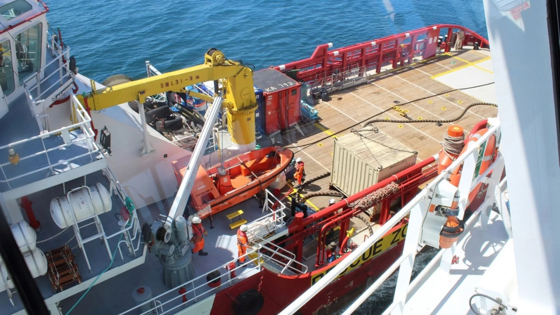
TGS has announced the completion of its GeoStreamer X (GSX) acquisition and processing campaign in the Norwegian Sea, a program that ran for three years and concludes with the delivery of dual-azimuth data to its clients.
With this advancement, the company is making available more than 21,500 square kilometers of high-resolution multi-client seismic data. This set provides a modern foundation to support exploration and development activities in one of the country’s most active offshore areas.
GSX seismic campaign boosts exploration in the Norwegian Sea
In addition, the GSX program introduces a high-density dual-azimuth acquisition solution designed to complement existing GeoStreamer coverage. This enhancement helps address longstanding limitations in seismic imaging, especially in complex areas such as the Halten Terrace.
In this region, characterized by geological structures formed during the Late Jurassic, the presence of fault blocks, horsts, and sedimentary fans requires advanced technologies for accurate interpretation. Thanks to the new seismic illumination and broadband fidelity, the data enables clearer identification of remaining hydrocarbon potential.
Innovation in seismic acquisition and processing
The campaign also integrated state-of-the-art technologies such as broadband multicomponent sensors, wide-tow sources, and tighter spacing between seismic cables. This is complemented by the use of long streamers, which are essential for building more robust velocity models.
As a result, the dataset improves fault definition, structural imaging, and reservoir characterization—key factors in reducing uncertainty in offshore exploration projects.
Impact on energy decision-making
In this context, the company highlights the project’s strategic value. “The completion of the GSX campaign marks an important milestone for our portfolio in the Norwegian Sea,” said David Hajovsky, TGS Executive Vice President of Multi-Client.
According to the executive, these data will enable operators to optimize exploration and development decisions in nearby areas over the coming years, strengthening efficiency in energy resource assessment.
Finally, the complete dataset is now available for licensing, reinforcing TGS as a key player in supplying geophysical intelligence to the global energy industry.
Source: TGS