Inspenet, June 8, 2023
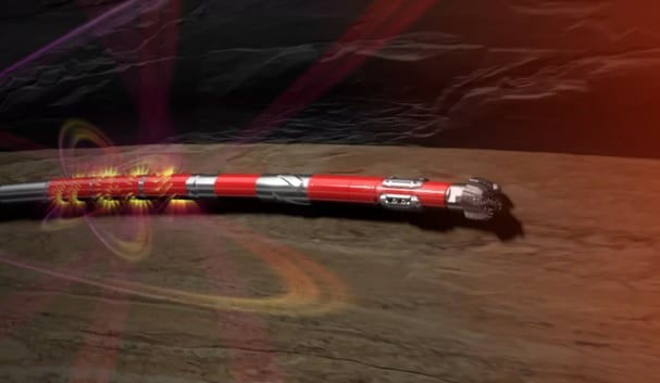
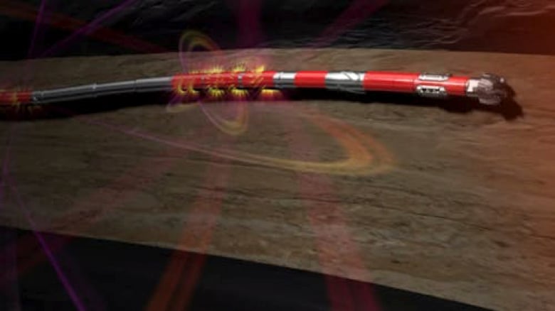
Halliburton introduced the EarthStar® X near-bit ultra-deep boundary mapping resistivity service as part of the iStar® intelligent drilling and logging platform, which helps interpret reservoir potential.
The EarthStar X service’s ultra-deep and near-bit reservoir mapping sensor increases well location accuracy, detecting early geologic changes and enabling rapid well trajectory correction to stay in the most productive zones and maximize drilling. asset value.

Find out how Halliburton is using EarthStar® X to identify high-potential oil fields
Integrated shallow resistivity measurements enable early reserve evaluation and accurate fluid characterization to further improve reservoir knowledge and reduce complexity and operational risks.
Jim Collins, Vice President of Sperry Drilling, said, “We listened and responded to operators to create the ‘closest to bit’ ultra-deep resistivity measurements in the industry. The EarthStar X service enables accurate reserve evaluation to help place wells on pay even in the most complex reservoirs.”

The EarthStar X service accurately maps geology in three dimensions using ultra-deep azimuthal resistivity measurements and inversion processing for geosteering, geostop and geomap.
Real-time bed and fluid boundary visualization can locate the well in the most productive zone of the reservoir and increase the net to gross value of the section. The closest-to-bit ultra-deep azimuth resistivity sensor can detect formation changes early and make timely adjustments to well trajectory to avoid premature exits.
Source and photos : https://petroleumag.com/earthstar-x-de-halliburton/
Don’t miss the Inspenet News at: https://inspenet.com/en/inspenet-tv/

