Robotic drone inspection has transformed how industrial assets are evaluated in sectors such as oil and gas, energy, chemicals, mining, and power generation. These technologies have reduced personnel exposure to hazardous environments while improving operational efficiency and data capture in hard-to-reach structures.
However, one of the main challenges of robotic inspections has been the difficulty of returning to the exact same measurement point during successive inspections. This limitation can affect data comparison and trend interpretation in asset integrity programs.
The limitations of “snapshot” inspections
The inspections performed with drones typically offer a detailed view of an asset’s condition at a specific point in time. This approach allows for identifying defects, documenting operating conditions, and reducing risks associated with manual access.
However, when inspections are repeated at different times, small variations in measurement locations can lead to differences in results. These spatial variations can be misinterpreted as degradation or changes in the asset’s condition.
As a result, integrity teams face difficulties in accurately calculating corrosion rates and estimating the remaining useful life of components. Likewise, maintenance decisions may be based on conservative assumptions when data is not fully comparable.
The importance of repeatability in robotic NDT inspections
Asset integrity programs rely on consistent measurements over time. For this reason, many industries use Condition Monitoring Locations (CMLs), specific points where periodic measurements are taken to detect actual changes in materials.
In complex industrial environments, especially at height or in hard-to-reach areas, ensuring the exact repetition of these measurements can be difficult. Traditional methods such as physical markings, photographs, or reference drawings help locate inspection points but rarely guarantee millimeter precision in the field.
According to Courtland Penk, president of Osprey Integrity, one of the biggest challenges in remotely operated robotic inspections has been accurately returning to the same inspection points to obtain comparable data.
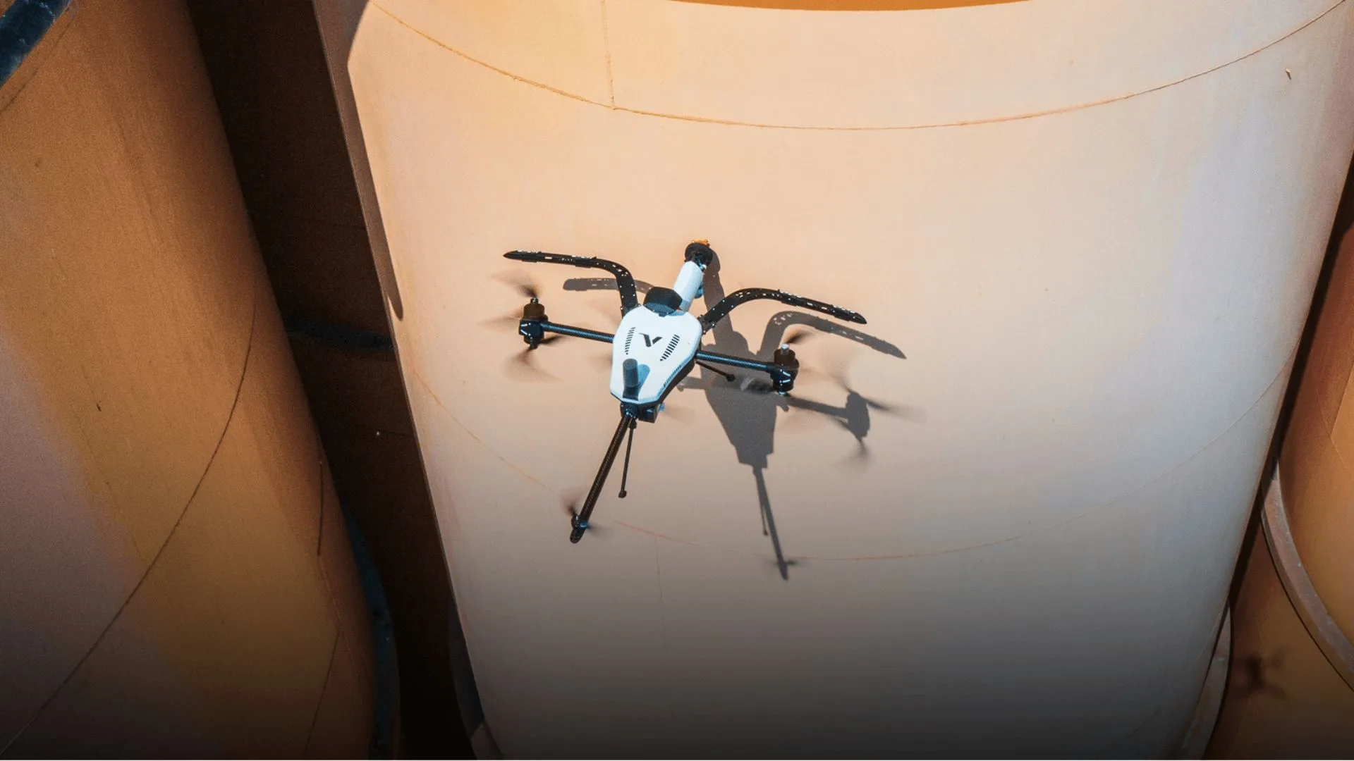
Repeatability technology in inspection drones
Voliro has developed a repeatability feature that allows pilots to return to the same physical inspection points across different missions. The technology combines spatial anchoring, RTK-based positioning, and augmented reality-guided navigation.
During the first inspection, the pilot sets a measurement point directly on the industrial asset. This point is associated with a precise spatial reference linked to the structure. In subsequent inspections, the system allows the selection of that previously recorded point and guides the drone back to the same location using an augmented reality overlay.
In this way, each new measurement is automatically associated with its original location. This process ensures spatial consistency between inspections and facilitates long-term trend analysis.
Integration with asset integrity programs
Repeatability allows isolated inspections to be transformed into comparable data within time series. This improves the reliability of corrosion analysis and strengthens predictive maintenance models.
Likewise, the technology facilitates the integration of drones into traditional industrial inspection workflows. Repeatable inspections can be used to monitor elevated piping, pipe racks, towers, columns, and other structures where frequent access is costly or complex.
In these cases, drones not only provide safe access to elevated areas but also generate consistent data that supports structural integrity decisions and maintenance planning.
Robotic inspection oriented toward data-driven decisions
The repeatability feature is included in the Voliro T system subscription, allowing users to access this capability without modifying existing hardware.
With this addition, robotic inspections evolve from simple information captures to continuous condition monitoring tools. By allowing repeatable measurements at the same physical point, integrity teams can identify trends more accurately and improve the reliability of their assessments.
Consequently, drone inspections are moving toward an asset management model based on comparable data and predictive analysis, strengthening decision-making in industrial operations.
Source and photo: Voliro