Table of Contents
The recent agreement signed between Viridien, BGP, and the Ministry of Natural Resources of Guyana represents a substantial step forward for the industry. This large-scale multi-client 3D seismic imaging acquisition program will cover an area of 25,000 square kilometers, focusing specifically on blocks 2, 3, and 4 of the continental shelf.
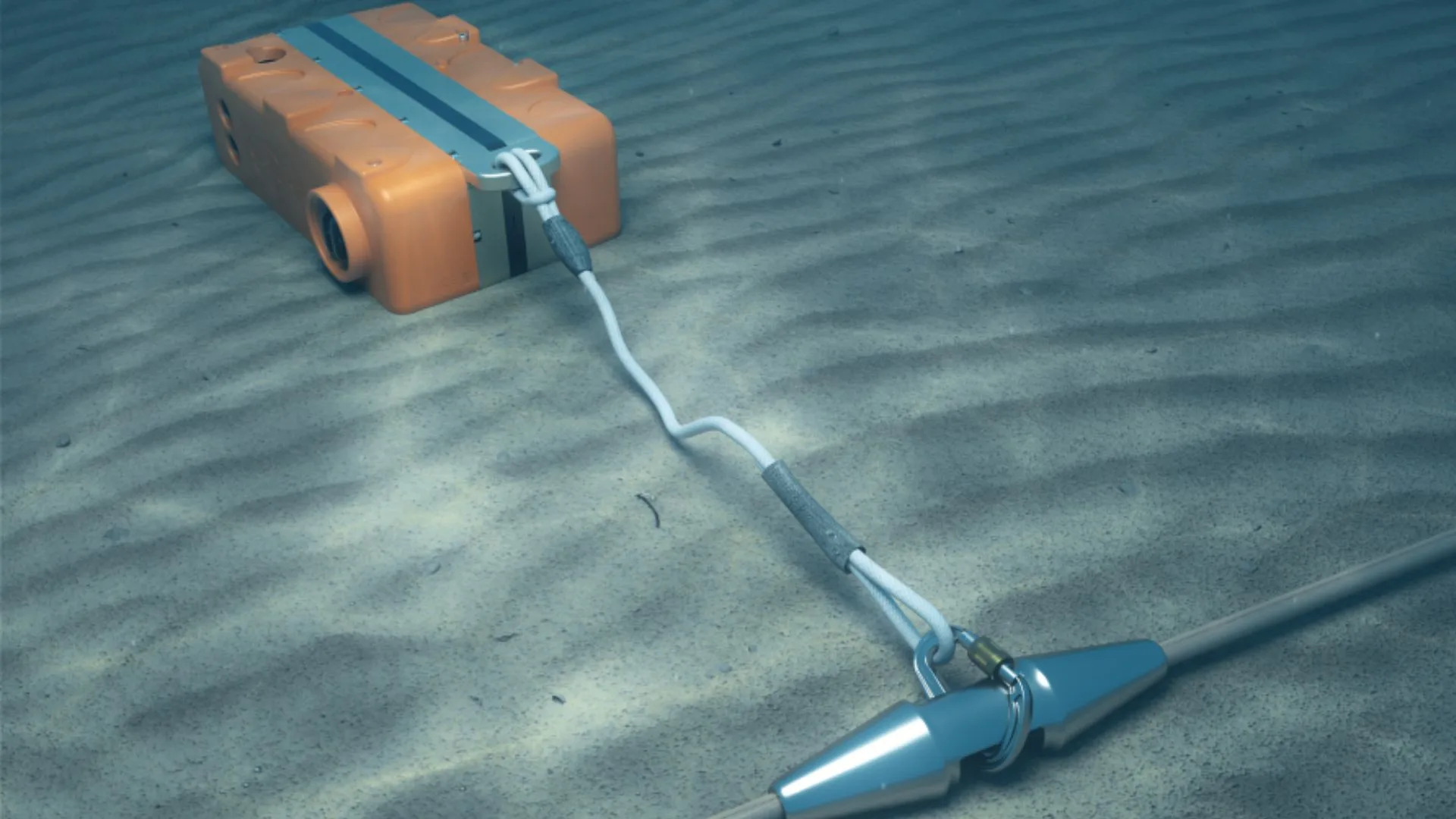
Viridien’s seismic program in Guyana basins
Likewise, the technical execution of this project relies on a synergy of proven capabilities. While BGP handles the acquisition of new field data, Viridien will apply its advanced imaging processing algorithms.
The use of time-lag full-waveform inversion (TLFWI) technology and state-of-the-art demultiplexing systems will deliver unprecedented subsurface clarity in these shallow-water areas.
On the other hand, the core purpose of this initiative is to reduce risk in areas that remain largely unexplored. High-fidelity geophysical data acquisition will enable operators to make informed decisions about the commercial viability of the reservoirs. In this way, the country strengthens its position for upcoming licensing rounds by providing technical tools that ensure efficient and responsible development of its natural resources.
Finally, Viridien’s track record of more than fifteen years collaborating with the Guyanese government adds an invaluable layer of technical confidence. This new phase of seismic exploration in shallow waters seeks to unlock the country’s energy potential and attract strategic investment that will cement Guyana as a central hub in the global oil landscape.
Source and photo: Viridien