
NISAR satellite starts mission to map earth changes in real time
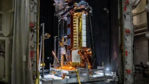
NISAR can detect changes in the Earth’s surface of just centimeters from an altitude of 747 km.
NISAR can detect changes in the Earth’s surface of just centimeters from an altitude of 747 km.
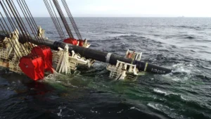
This type of offshore work requires high-precision technical coordination, from the design of the infrastructure to its commissioning.
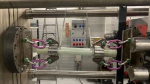
This project in Salo demonstrates the potential of aligning deep geothermal technology with composite materials.
The company will provide its expertise in subsea engineering to ensure the successful connection of these offshore platforms to the mainland.

During development, the team faced problems with the Stirling engines initially contemplated for tertiary cooling.

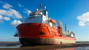
The vessel incorporates an additional space on board called “IKOI”, dedicated exclusively to the crew’s rest.
Please confirm you want to block this member.
You will no longer be able to:
Please note: This action will also remove this member from your connections and send a report to the site admin. Please allow a few minutes for this process to complete.