Table of Contents
The search for measures to guarantee a greener future has led different industries and governments to implement different technologies to improve global conditions. One of the sectors with the greatest influence in the environmental context is the energy sector, becoming one of the main objectives in improving operating models. Among the most promising improvements is the use of satellites in the energy transition.
In the energy sector, there are great challenges to take into account, such as climate change and the growing demand for energy consumption. Reasons why the transition towards new renewable sources has become one of the main objectives of governments and organizations. However, to develop these projects it is necessary to obtain data through different sources, such as satellites.
Space satellites and their use in the energy industry
The connection between space and the energy sector was established more than 60 years ago with the development of solar panels, however, their use has evolved significantly over time1. Currently, space plays a key role in tasks such as monitoring greenhouse gas emissions and their climate impact.
Its main function lies in the measurement of Essential Climate Variables (ECV) for subsequent analysis and characterization of the current state of the global climate2. In this way, the behavior of climate change can be understood, ideal for the development of predictions, and mitigation strategies and prevention of unwanted events.
Applications of satellites in the energy transition
Due to the great usefulness and capabilities of observation satellites, these equipment have an increasingly important role in the energy transition. For this reason, they cover applications such as:
Monitoring greenhouse gas emissions
In the arduous task of mitigating global warming to a limit of 1.5°C, quantification of emissions is important, but is being managed through estimates provided by countries, based on self-reported information presented to the United Nations3. Therefore, there is little information in this regard, coupled with the fact that a large number of countries have not presented their emissions inventories in recent years.
The current lack of knowledge of total emissions at a global level represents a major problem, affecting possible mitigation alternatives. In these types of situations, satellites represent an important technological value in reducing emissions.
Satellite technology in greenhouse gas mapping allows high-resolution monitoring to identify specific emissions from facilities, proposing measures to reduce emissions defined based on the analysis of the data collected.

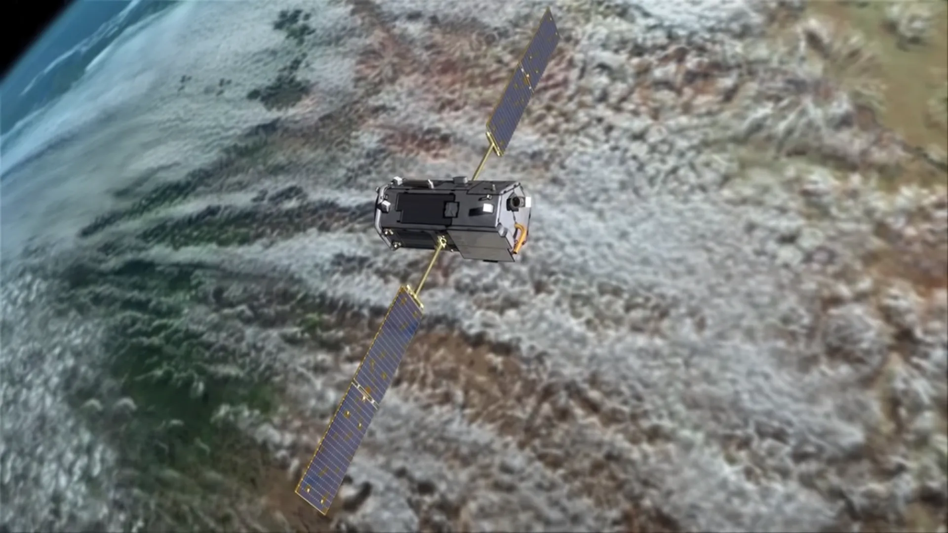
Monitoring of carbon dioxide emissions through the “OCO-2” satellite. Video courtesy of
NASA Jet Propulsion Laboratory .
A clear example of this implementation of satellites in the energy transition is NASA’s carbon monitoring system, which merges satellite remote sensing, scientific knowledge and modeling to support more than 100 countries in monitoring and mitigating climate change.
Among its collaborations is the United States Environmental Protection Agency, providing data on methane emissions. NASA has also worked with the Maryland Department of Natural Resources, providing high-resolution forest images and carbon footprint tracking data.
Natural resource monitoring
One of the keys for companies in the energy sector in the development of sustainable projects such as solar or wind parks, is the monitoring of natural resources, in order to search for optimal locations for their location; which is extremely important, since the use of geospatial data offers a more complete analysis of the studied areas, ideal when deciding locations.
Some of the most relevant factors are solar irradiance, land availability and the direction and speed of wind currents. A crucial aspect in this resource evaluation is the distance between the energy source and the nearest substation, because distances can involve significant costs4.
This innovative approach, provided by space satellites, improves the accuracy and completeness of information on natural resources available in various locations, allowing energy companies to make important and efficient decisions in the planning and development of renewable energy projects.
Supervision of renewable energy infrastructure
The supervision of renewable energy projects can be carried out in different facets, ranging from construction monitoring to the review of assets and infrastructure, the latter being studied in the search for improvement opportunities in their networks.
The construction process is critical, and requires efficient supervision to ensure the success of the project. Through the application of satellite imaging technologies, unique and valuable insights can be gained during site preparation and construction.
These images provide an objective source of information about the progress of the project, allowing decision makers to be aware of any deviations to take the necessary corrective measures.

Uses and applications of satellites in monitoring renewable energy infrastructures. Video courtesy of European Space Imaging.
For asset integrity, the adoption of satellite imagery has transformed the way equipment and the infrastructure where it is located are monitored and protected1. By analyzing changes in assets and infrastructure over time, as well as their surroundings, potential problems can be identified and solutions, maintenance actions and repairs proactively planned. This practice contributes to the reduction of downtime and improves the reliability of the operations developed in these phases.
Having access to real-time data becomes the key to guaranteeing optimal results in the supervision of renewable energy infrastructure and in the efficient management of construction projects.
The role of observation satellites in the energy transition
Considering the objective of optimizing the adoption of new energies and the developments regarding the digitalization and reliability of data in the energy sector, the role of space technology continues to increase. Alternative energies represent a push towards the world’s energy sustainability, in conjunction with data from multiple sources, including space, the energy portfolio will be able to increase its production levels, thus reducing dependence on fossil fuels.
Currently, there is great interest in offshore renewable energy generation, such as tidal energy, offshore wind energy and floating solar photovoltaics. However, its correct implementation requires the strategic collection of characteristic data on water, waves, wind, salinity, among others; These can only be characterized by equipment such as satellites.

One of the major focuses of satellites in the energy transition would be the reduction of the environmental impact of new facilities that are about to be built, as well as the study of existing facilities. The latter are analyzed to know the repercussions that they can unleash on marine fauna populations.
Conclusion
The integration of satellites in the transition to new energies aims to redefine energy sustainability, by offering key solutions to monitor emissions, evaluate natural resources and supervise renewable infrastructure. These spatial devices not only address the lack of crucial data in climate change mitigation, but also enable the development of informed decisions in the planning of energy transition projects.
Considering their great benefits, such as optimizing efficiency in power generation stations to reducing environmental impact on the surrounding area, satellites are essential pieces in the search for a more sustainable and energetically diversified future. Due to this, the role of satellites in the energy transition will continue to grow in the coming years, as the demand for alternative energies increases.
References
- European Space Agency. (sf). HOW SPACE SUPPORTS THE ENERGY TRANSITION. Retrieved January 23, 2024, from https://commercialisation.esa.int/2020/09/how-space-supports-the-energy-transition/#:~:text=Solar%20power%20satellites%20benefit%20from,moon%20or%20on%20other%20planets.
- Global Climate Observing System. (sf). About Essential Climate Variables. Retrieved January 23, 2024, from https://gcos.wmo.int/en/essential-climate-variables/about
- World Economic Forum. (2023, February 2). Satellite tracking is helping scientists pinpoint the worst emissions offenders. Retrieved January 24, 2024, from https://www.weforum.org/agenda/2023/02/climate-emissions-satellite-tracking/
- Duffy, E. (2023, August 24). Six Ways Satellite Data Sparks Change In The Energy Sector. Retrieved January 24, 2024, from https://www.forbes.com/sites/forbestechcouncil/2023/08/24/six-ways-satellite-data-sparks-change-in-the-energy-sector/? sh=593d44713821

